
Off the Edge: A Tool to Find the Best Place to Live in the World by 50+ Criteria
Free open data. AI helpers in parallel. One preferences file that says exactly who you want to be.

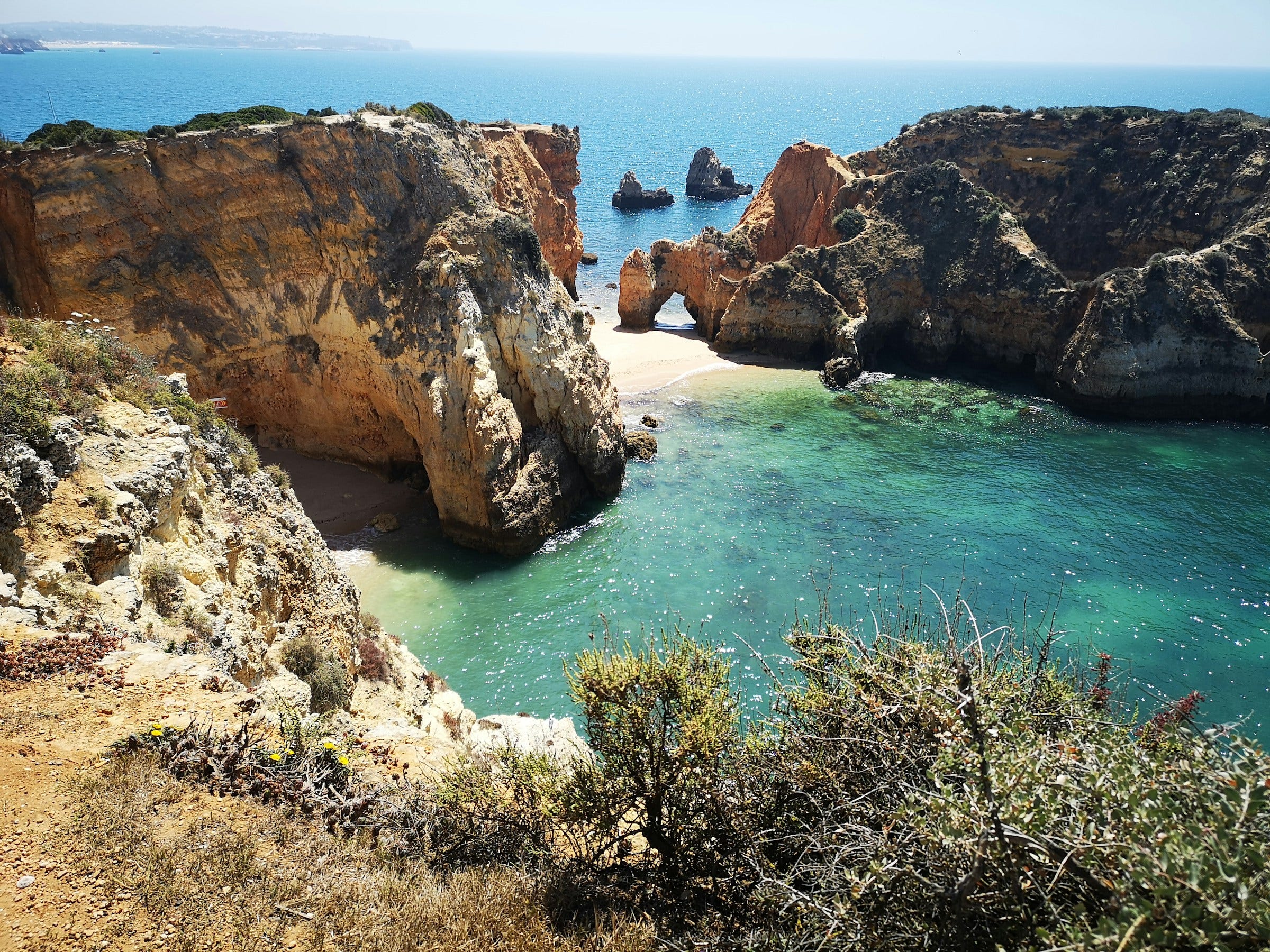
The Algarve, Portugal.
The where-to-live question is on the table for my partner and me. We just want to know where on Earth we could really put down roots.
Most where-to-live advice is junk. It's what someone's brother-in-law liked. Or a blog post sponsored by a tourism board. Or the same twelve cities every "best places to live" newsletter recycles every year.
I wanted a defensible answer. So I built one.
"On the Edge" is the name of this publication. This one's off the edge. I just wanted to see where on Earth my partner and I could live. The question I keep coming back to:
If we could live anywhere on Earth, where?
This Isn't a Build Log
This isn't a build log today. It's the side project.
If you read On the Edge for the GTM and AI work, bear with me. We'll be back in the next post. This one's just a fun project my partner and I have been hacking on.
Why the Whole Build Is Free Here
Normally I split this newsletter in three layers. The story is free. The data and build details sit behind a $50/mo paywall. The actual tools are annual-only.
This one's different. Because it's a side project — not a GTM tool I ship to clients — I'm sharing the whole build for free in this post. Every data source. Every filter. How the sorting works. The methodology, top to bottom.
The repo itself — the actual working code you'd run — is still annual-only. I'll add you to the private GitHub once you've gone annual. Details at the bottom.
What We Actually Want
My partner and I live in San Francisco. We love it here. But we were curious — if we could live anywhere on Earth, where would the data say to go?
The wish list isn't fancy. We want a place we can swim, garden, and grow old. Wake up, walk to water, swim. Grow tomatoes year-round. Walk to a good farmers' market. Read books by the water. Have neighbors.
The vibe is "Pacific Northwest sensibility, but warmer." Warm and slow. Dry heat over humid swamp. Less tourist bubble, more authentic locals. Bike-friendly. Pickleball. Dinner with the neighbors.
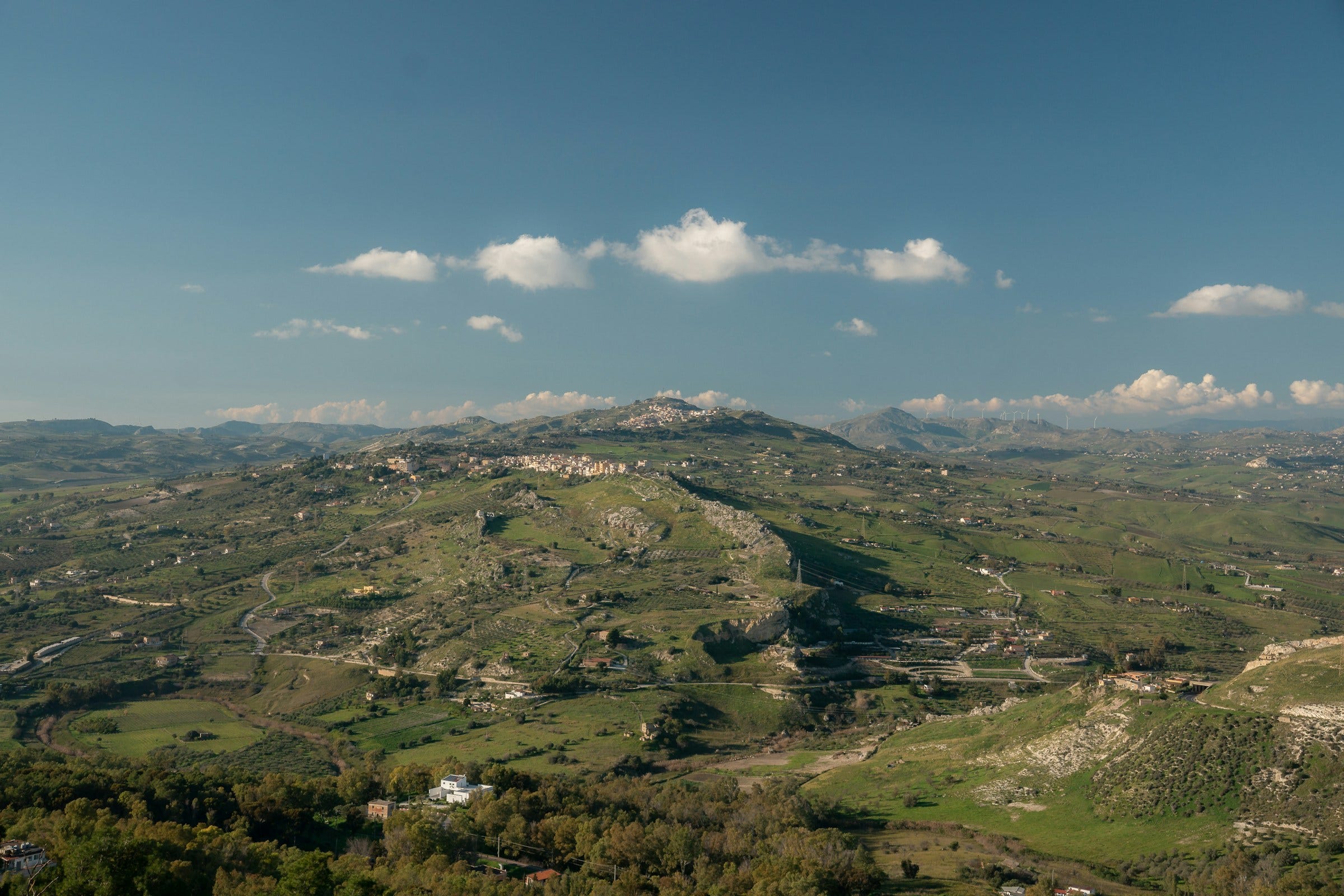
Inland Sicily — warm, slow, mostly unbothered.
And the line I keep coming back to — the one I wrote into the preferences file in all caps because I meant it:
"Not somewhere we go to dodge taxes — somewhere we LIVE."
That's the bar. Just somewhere we want to wake up in for the next forty years.
How Do You Sort a Planet?
The way you do this cost-effectively is to sort. The hard part isn't picking. The hard part is sorting.
There are 195 countries. There are coastlines on every continent. There are towns of 8,000 people in Portugal and towns of 8,000 people in Costa Rica that look almost identical on Instagram. How do you sort a planet?
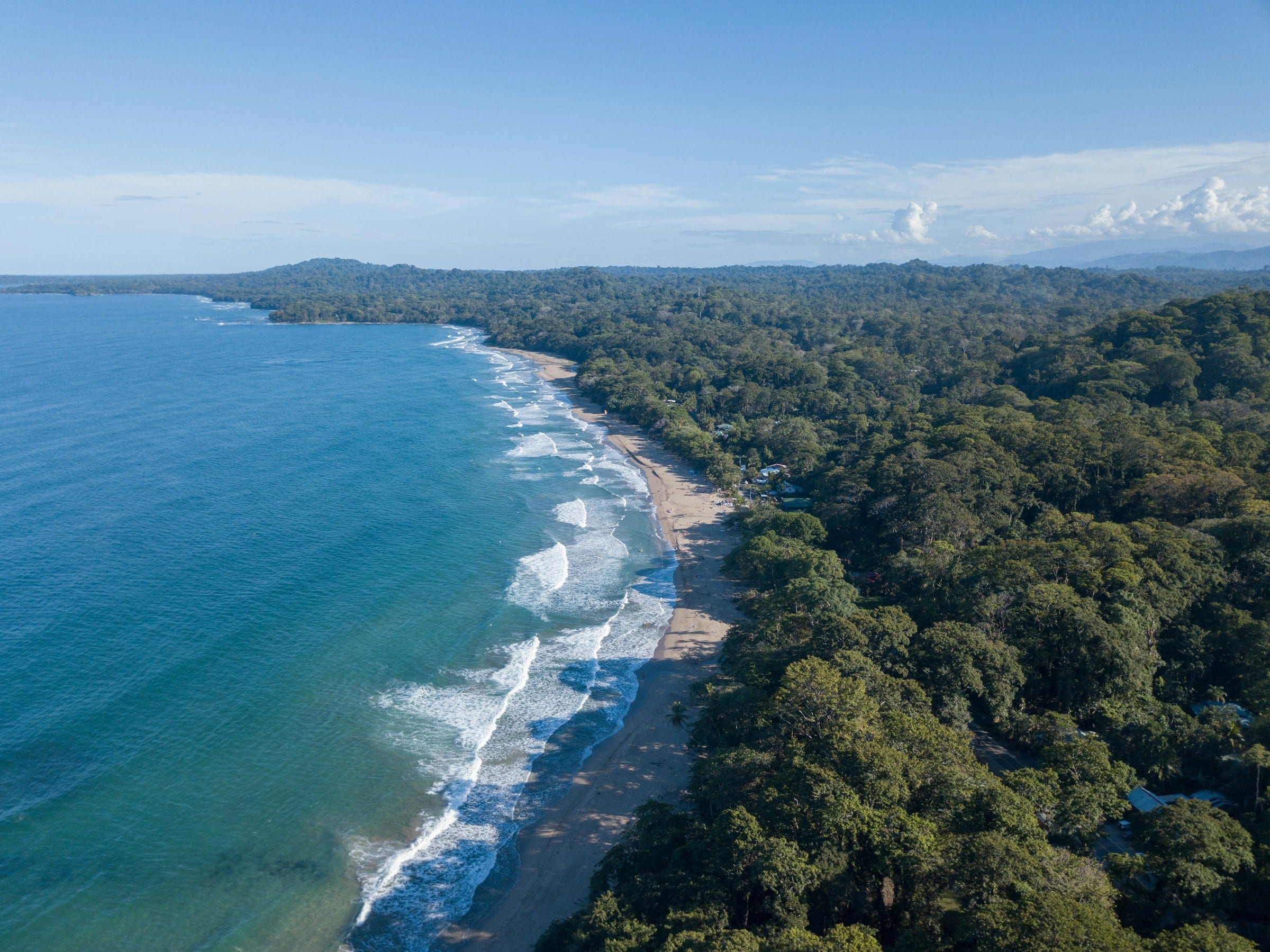
The Caribbean side of Costa Rica. Looks a lot like Portugal on Instagram. Feels very different in person.
Most people don't sort. They pick the three to five places they've already heard of — Portugal because of the visa, Costa Rica because of a friend, Mexico because they went once. They call it a search. It's confirmation bias dressed up in a passport.
I wanted something different. I wanted a system that started with the whole world — every country, every shoreline, every elevation — and let the data do the cutting before any human had to argue.
Because if we're going to choose where to make a life, I want the choice to be defensible. To my partner. To future-us, looking back twenty years from now, wondering if we made the right call.
I Started With Satellites, Not a Country List
Most where-to-live searches start with a country list. I started with a satellite grid.
The grid is what climate scientists use. Every spot on Earth, broken into squares about a kilometer wide, each one with its own readings — temperature, rainfall, elevation, drought history. Two hundred and fifty-nine thousand points total.
Then the system does something simple. It asks each point:
Is the climate stable enough that you'll still be livable in 2050?
Is there real swimmable water within five kilometers — a lake, a river, an ocean?
Is there an international airport within ninety minutes' drive?
Is the land flat enough to age in?
About 1,600 points say yes.
Those 1,600 spots come from anywhere. The Algarve in Portugal. Inland Sicily. The Caribbean side of Costa Rica. Mexico's Pacific cape. Spain's Murcia coast. The Adriatic in Italy.
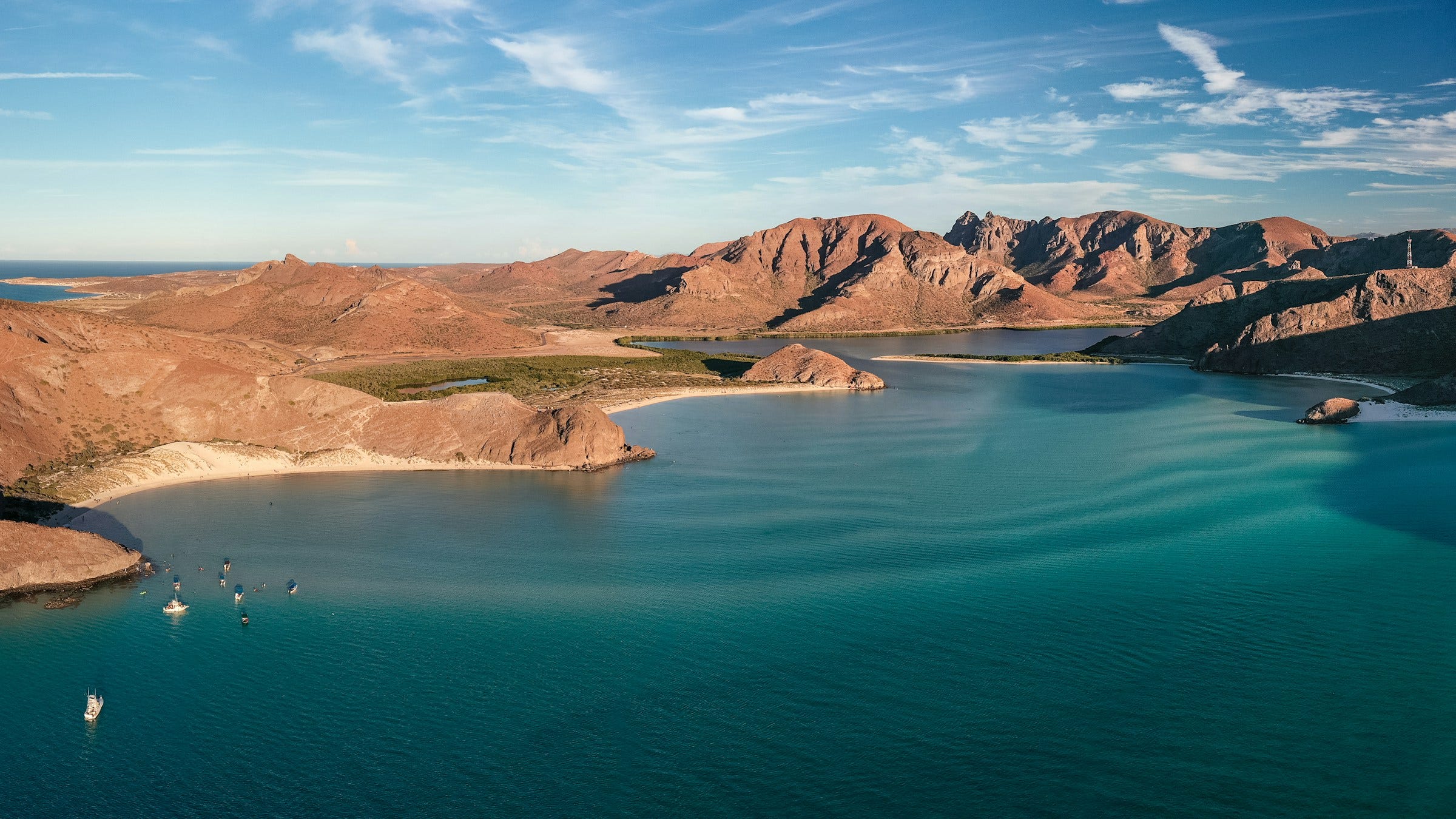
Mexico's Pacific cape — Baja California Sur, where the desert meets the ocean.
I didn't put any of those on a list. They surfaced because the data said so. That's the inversion. Don't start with the answer. Start with the planet, and let it eliminate itself.
The Tour: Fourteen Data Sources, in Plain English
The system blends fourteen separate data sources to do all of this. They sound technical when you list them. They're not. Every one of them is something a smart friend would say "yeah, you should probably check that" if they cared about you living somewhere good.
Here's the tour, in four acts.
Act One — Climate, now and later. (So you don't move into a place that's about to break.)
WorldClim is fifty-plus years of monthly weather, read off satellites. It tells me what was normal. A place's reputation is decades behind its current weather. This data isn't.
WorldClim CMIP6 is the same satellites, but projected forward to the 2050s. (CMIP6 is just the climate model the world's scientists agreed on.) I want to know what's livable decades from now.
TerraClimate is 175 years of monthly soil-moisture data. It tells me which places are one bad decade away from a megadrought.
Act Two — Water and the shape of the land. (So "near water" actually means swimmable.)
HydroLAKES maps every lake on Earth larger than about 25 acres. Real swimming. Not "near water" marketing copy.
HydroRIVERS maps the world's rivers — clean, navigable, swimmable ones, not flood-prone ditches.
Natural Earth coastlines is the clean version of every shoreline on the planet. It helps me find true coastal proximity, not a fake "ocean view" twelve kilometers inland.
SRTM 30m is NASA's satellite elevation map. Every meter of the planet. I use it to find land flat enough to age into — slopes that won't get harder as we get older.
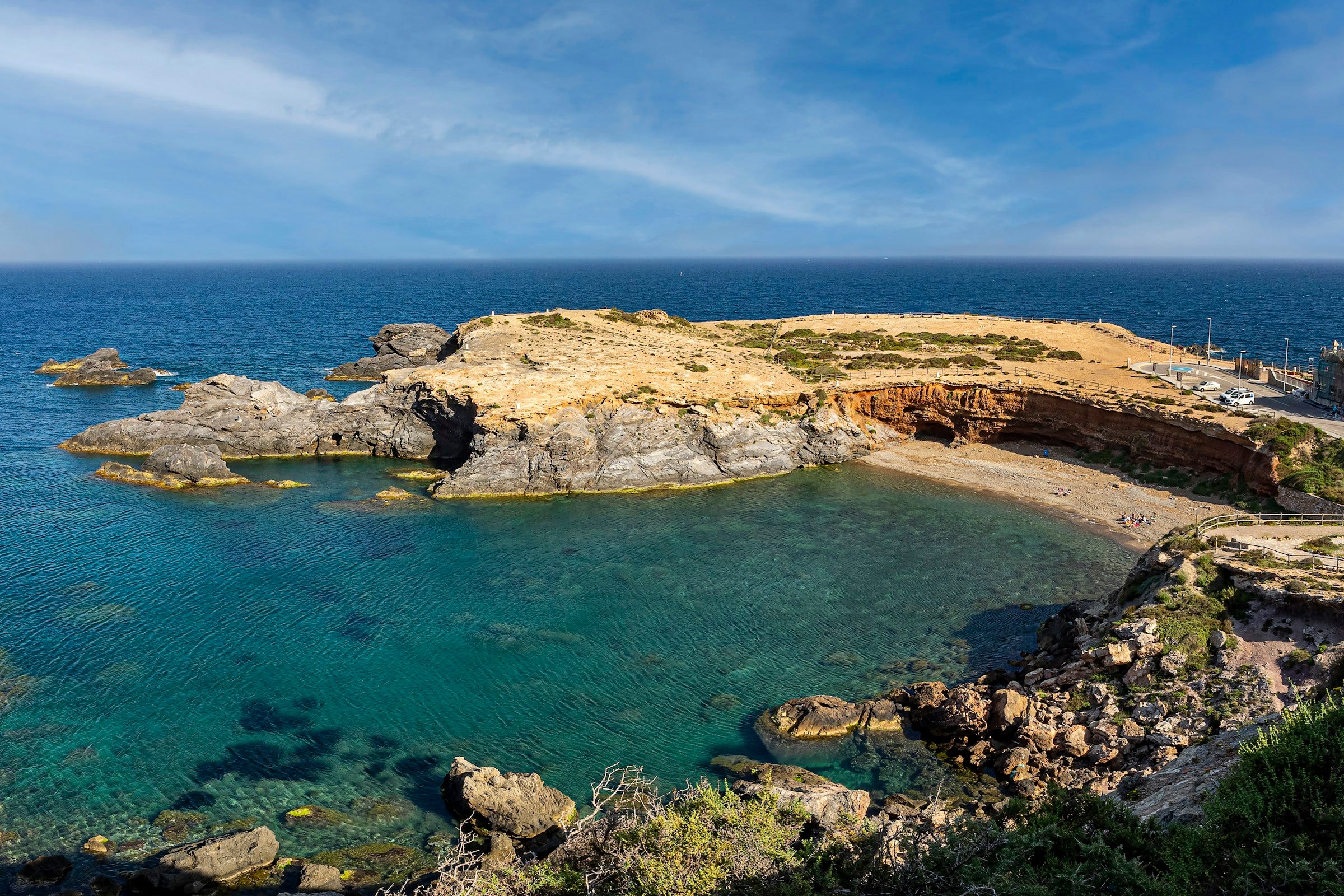
Spain's Murcia coast — real swimmable water, no Instagram polish.
Act Three — Hazards. (The things insurance companies and FEMA already know but won't tell you for free.)
EPA Radon Zones show which US counties have the most cancer-causing gas seeping out of the ground. Invisible. Fixable. Free to check.
EWG's PFAS contamination map is every known "forever chemical" hotspot in the United States. A property within five miles of one is an automatic no.
Cal Fire's hazard zones map over 21,000 high-fire-risk polygons across California. An entire state's worth of land that no insurer will quote.
The USGS National Seismic Hazard Map flags earthquake risk. Hand-screened, property by property.
FEMA's Flood Hazard data flags federal flood zones. Same idea.
Act Four — Infrastructure, getting there, and what's actually for sale. (So you can move there, not just dream there.)
OurAirports lists every airport on Earth — 12,600 of them. I use it to make sure I'm within a ninety-minute drive of an international flight.
Vehicle-import economics. For every country that survives the filters, the system runs a per-country ship-vs-sell-and-rebuy analysis on my car. If landing the car costs more than what it's worth to me, that country drops out. (The 3.3-inch ground clearance also gets flagged against Italian cobblestones and Latin American rural roads.)
Live property listings come from Apify, a web-scraping service that pulls real homes from real portals: Idealista in Portugal, Spain, and Italy. Immobiliare in Italy. Fotocasa in Spain. Inmuebles24 in Mexico. Encuentra24 in Costa Rica and Panama. Imovirtual in Portugal. Properati in Costa Rica and Panama. Zillow and Redfin in the US. Dreaming doesn't get a deed signed. The system pulls actually-for-sale homes, right now, and checks every one of them against everything above.
How the System Actually Scores
Okay. Fourteen data sources. Fifty-plus criteria. How do you actually score a planet?
Order matters. The system thinks in three phases.
Phase one: hard filters eliminate without arguing.
There are five non-negotiables — the things I refuse to flex on. Swimmable water within five kilometers, with real access. No HOA, ever. Private insurance has to be available (no last-resort state plans, no FAIR-plan-only properties, and the annual premium has to come in under our cap). The climate has to still be livable in 2050. The price has to be under budget.
A property that fails any one of these never gets scored. It doesn't matter how charming the photos are. The hard filters happen before the AI thinks. That saves money. It eliminates false positives. It means I'm not paying for AI to argue about a place that's already disqualified.
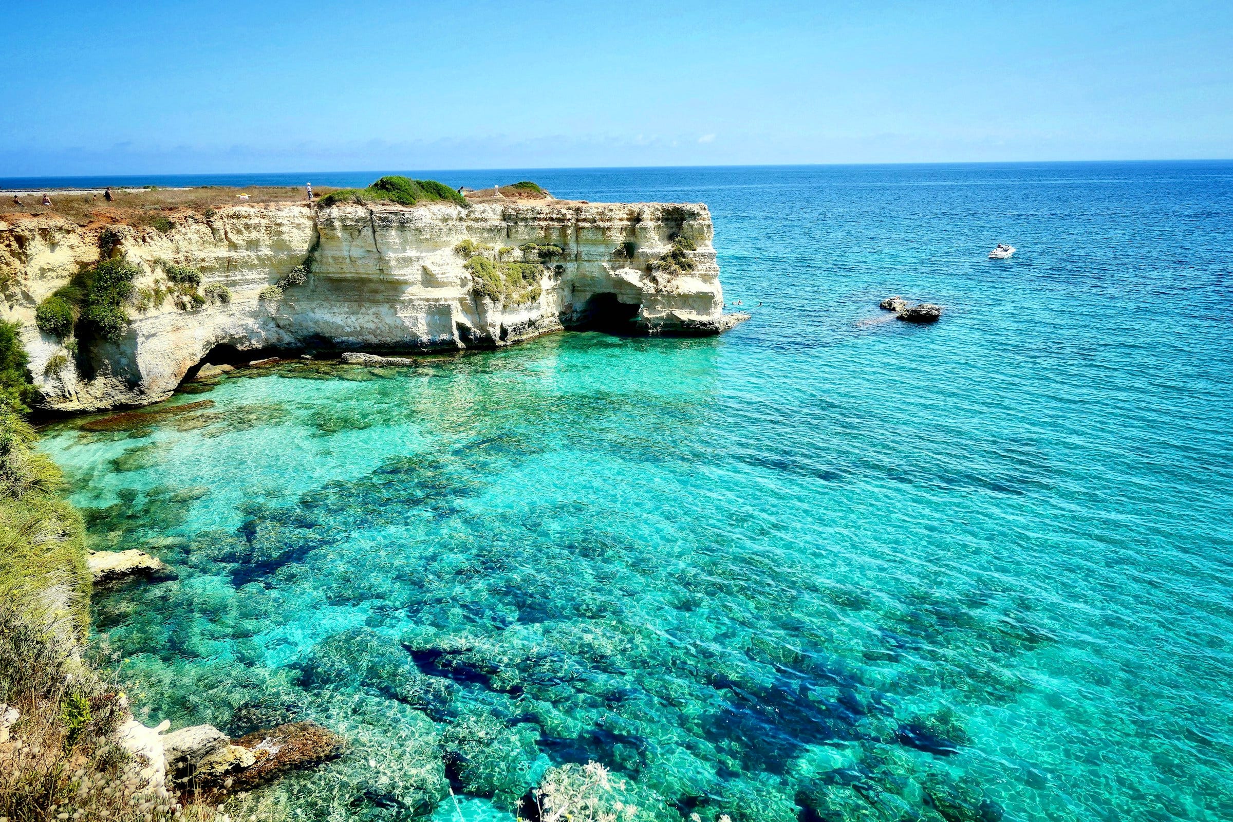
The Adriatic coast, Italy — Sant'Andrea, Salento.
Phase two: AI helpers score in parallel.
When about 30 to 50 properties survive the filters, the system kicks off a swarm of Claude assistants — running at the same time, not one after the other. Each one scores a property three ways:
Fit. Does it match the non-negotiables and the lifestyle? 2 to 4 bedrooms, 2 to 4 baths, half an acre to an acre and a half. Turnkey preferred. Single-story counts double for aging in place. 50+ Mbps internet, Starlink fine. Pickleball, cycling, running, and hiking nearby.
Value. What does this cost compared to other places like it? And because the system started with the planet, the comparison set is every place on Earth with the same swim-garden-stable-climate footprint. The system can tell me a $250K property in Costa Rica delivers the same lifestyle as a $1.2M property in coastal California.
Risk. Climate trajectory. Title clarity. Seismic. Flood. Air quality (PM2.5 cap). Regional life-expectancy. Blue-zone bonus. Data quality. What could surprise me later?
There's also a layer of soft factors that doesn't disqualify but shows up in the report. US counties that lean deep-red surface in the brief but aren't used to filter international results. International stability has a minimum. Healthcare quality has a minimum. Police harassment has a cap. Bureaucratic friction has a cap. None of it secret — all of it auditable.
Phase three: the top ten get a deep-dive brief.
A letter. A first-person letter from a sharp friend who walked the property for me. Sample voice:
"The gate opens onto an unpaved path to the sand. Two kilometers by bike, you're in the Atlantic before the village wakes up."
That's the output. That's what shows up in my inbox.
All in: fifty-plus specific criteria. Every climate threshold. Every hazard layer. Every property attribute. Every soft factor — politics, healthcare quality, visa rules, vehicle-import cost. Even the ground clearance of the car I might ship.
The full audit lives in a single 170-line preferences file (this is what's called a YAML file, if a technical reader wants to search for it). That file is the user interface. Edit it. Re-run. The system adapts.
One more thing I love about it. The data isn't stale. Visa rules get re-checked every 30 days. Insurance markets every 30 days. Political stability every 30 days. Tax regimes every 90 days. Vehicle-import rules every 180 days. Old answers get retired on a schedule. New ones take their place.
What It Takes to Run It
Here's what it takes to run this thing.
Claude Code. Free with a Claude Pro or Max subscription. That's where the AI helpers live.
An Apify account. Free trial. Roughly $1–2 for a small test run. Roughly $50–200 for a full run across multiple countries. That's the only thing that costs real money per run.
A preferences file. Mine is 170 lines. It says what we want and what we don't. Tomatoes. Pickleball. No HOA. No snow. Hotter is better, but not over 95°F in July.
About 83 GB of free open data. One-time download. WorldClim, TerraClimate, SRTM, HydroLAKES, HydroRIVERS, Natural Earth, OurAirports, EPA, EWG, Cal Fire, USGS, FEMA. Every one of them free. Permissively licensed. The same data climate scientists and the federal government use.
That's it. No data broker subscription. No monthly platform fee. No black-box ranking score you can't audit.
The Best Bang for My Buck
This is the part that surprised me most.
The data is free. Every layer the system uses — climate, drought, elevation, water, hazards, airports — is open source. It's the same data NASA and the EPA and Cal Fire and FEMA already publish. The same data climate scientists use to write the papers that get reported in The Atlantic.
The data is also better than what any real-estate platform sells. The big property sites buy their "risk scores" from these same underlying sources, mark them up, and serve you a black box. I'm using the raw, free, audited version. So are you, if you run this.
But the real bang for the buck comes from the sorting itself.
If you start with a country list, you pay that country's premium — Portugal because of the visa, Italy because someone's friend liked Tuscany, Mexico because a YouTuber filmed there. Every name on that list is already someone else's discovery. Discovered places cost more.
If you start with the planet, you find places nobody told you about yet. The same swimmable water, the same 2050-stable climate, the same flat-enough-to-age-into land — at half the price, because nobody's added it to a "10 best places" list. The Algarve was a discovery decades ago. Inland Sicily hasn't been. The Murcia coast hasn't been.
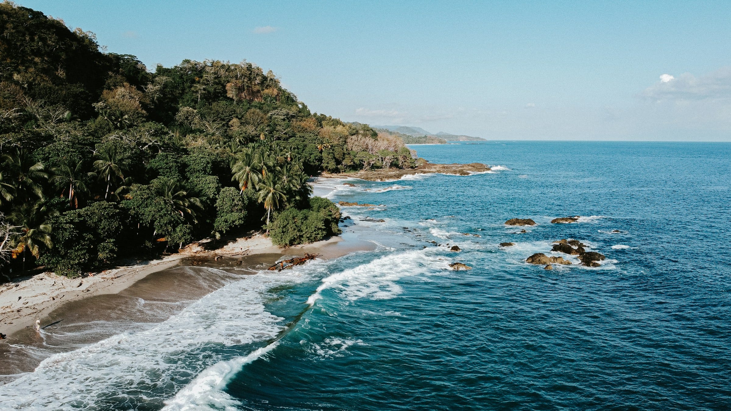
The Nicoya Peninsula, Costa Rica — Pacific side, one of the world's five Blue Zones. Not on any "best places to live" list. Yet.

The Alentejo coast, Portugal — the other Portuguese coast, just north of the Algarve. Quieter. Less famous.
That's the bang for the buck. The system surfaces value because it skips the popularity tax.
The system also squeezes every advantage it can find. It scans off-market US listings every week. It scans assumable mortgages every week — somebody else's old 3% rate, transferable to a new buyer. If you qualify for a teacher mortgage program (Good Neighbor Next Door, Teacher Next Door, Educator Mortgage), it applies those too. A plan that doesn't use the discounts you've already earned is just leaving money on the table.
The dollar stretches further internationally. Portugal, Spain, Italy, Costa Rica, Mexico, Panama all surface in our runs.
We want the most life per dollar. The most years of swims and gardens and good neighbors. The most actual living.
That's the best bang for my buck. The most life.
The Close
When the question is real, you don't want vibes.
You want data you can trust. Filters you can defend. And someone — or something — brave enough to tell a story about the survivors.
This is a defensible answer to one question my partner and I keep coming back to.
If we could live anywhere on Earth, where?
Right now, the answer is the Algarve, or inland Sicily, or maybe a small town on the Caribbean side of Costa Rica. Next year, it might be somewhere else, because the data will have moved.
That's the point. The system is the answer. The map is just where it's pointing me today.
What Annual Adds
The full build is in this post — every data source, every filter, the whole methodology. Normally that's not how it works (story is free, build details are $50/mo, tools are annual). This one was a side project, so I made the build open.
The repo itself is still annual-only. Drop your own preferences file in — your version of swim-garden-grow-old — and get back a shortlist, a market story, and a side-by-side comparison of the finalists, written in plain English.
(The repo's private. DM me your GitHub ID once you've gone annual and I'll add you.)
Annual gets you a lot more than just this:
Every tool I ship. Edge Copilot installs to your Claude Code — talk to all my knowledge, every method, every data source. Current: Edge Copilot, AutoClaygent, Agent 7, Who to Target and What to Say, Blueprint Cloud, Technology Finder, Video List Extractor. Whatever ships next is included.
All 3 courses: Who to Target and What to Say, Agent 7, AutoClaygent.
Weekly office hours.
License key hits your email after you upgrade.
→ Go annual — $2,499/yr · Start at $50/mo (most readers start here)